Call Us at
Contact Us
Store Locator
Weekly Ad
Track Order
Gift Cards
Muskego, WI
My Store
Muskego, WI
View Store Details
W195 S6460 Racine Avenue
Muskego, WI 53150
(262) 465-2054
View Store Details
SELECT ANOTHER STORE
Sign In
Hi
Customer
!
My Account
My Fleet Rewards
Order Status
0
Cart
Shop Departments
Hunting & Shooting
Hunting & Shooting
Firearms
Firearms
Handguns
Muzzleloaders
Receivers
Rifles
Shotguns
Featured Brands
Winchester
Remington
Ammunition
Ammunition
Ammunition Storage
Handgun Ammo
Muzzleloader Ammo
Rifle Ammo
Rimfire Ammo
Shotgun Ammo
Featured Brands
Federal
Remington
Firearm Accessories
Firearm Accessories
Firearm Electronics
Gun Cases & Range Bags
Gun Maintenance
Gun Parts
Gun Safes
Gun Targets
Muzzleloader Equipment
Personal Defense
Reloading Supplies
Shooting Gear
Shooting Safety
Archery
Archery
Arrows & Accessories
Bows & Accessories
Broadheads & Points
Crossbows & Accessories
Quivers
Sights
Targets
Game Cameras
Game Cameras
Cellular Game Cameras
Game Camera Accessories
Non-Cellular Game Cameras
Optics
Optics
Accessories
Binoculars
Handgun Optics
Rangefinders
Rifle Scopes
Spotting Scopes
Thermals & Nightvision
Hunting Gear & Accessories
Hunting Gear & Accessories
Attractants & Lures
Bags & Backpacks
Compasses & GPS
Concealment & Scent Elimination
Dryers
Field Dressing
Hunting Accessories
Storage & Furniture
Taxidermy Supplies
Traps
Warmers
Air Guns & Airsoft
Air Guns & Airsoft
Air Guns
Airsoft
Sling Shots
Blinds
Blinds
Blind Concealment & Accessories
Elevated Blinds
Ground Blinds
Layout Blinds
Treestands
Treestands
Climbing Stands
Climbing Sticks & Tree Steps
Elevated Blinds
Hang On Stands
Ladder Stands
Restraints & Harnesses
Treestand Accessories
Calls
Calls
Call Accessories
Deer Calls
Duck Calls
Elk Calls
Goose Calls
Predator Calls
Turkey Calls
Decoys
Decoys
Decoy Accessories
Predator & Dove Decoys
Waterfowl Decoys
Hunting Knives & Tools
Hunting Knives & Tools
Axes, Machetes & Saws
Fixed-Blade Knives
Folding Knives
Knife Sets
Knife Sharpeners
Multi-Tools
Food Plots & Feeding
Food Plots & Feeding
Bear Mix & Attractants
Deer Attractants & Blocks
Deer Food Plot Seeds & Mix
Hunting Clothing
Hunting Clothing
Gloves
Hats & Headwear
Jackets & Vests
Pants & Bibs
Sweatshirts
T-Shirts
Featured Brands
Winchester
Vortex
Fishing
Fishing
Rods
Rods
Baitcast
Casting
Spincast
Spinning
Travel & Pack Rods
Trolling
Reels
Reels
Baitcast
Line Counter
Spincast
Spinning
Rod & Reel Combos
Rod & Reel Combos
Baitcast
Line Counter
Spincast
Spinning
Youth
Rod Holders & Storage
Rod Holders & Storage
Rod Holders
Rod Storage
Fishing Electronics
Fishing Electronics
Fish Finders & Accessories
GPS & Maps
Fly Fishing
Fly Fishing
Flies
Fly Fishing Tools & Accessories
Rods, Reels & Combos
Bait & Lures
Bait & Lures
Attractants
Bait Kits
Bass Baits
Hard Baits
Inline Spinners
Jigs
Live Bait
Live Bait Rigs
Live Bait Supplies
Musky Baits
Preserved Baits
Soft Baits
Spinners
Spoons
Terminal Tackle
Terminal Tackle
Blades
Bobbers & Floats
Hooks
Leaders
Line
Sinkers & Weights
Snaps & Swivels
Fishing Apparel
Fishing Apparel
Hats & Gloves
Outerwear
Rainwear
Shirts & Vests
Shorts
Sunglasses
Sweatshirts
Waders & Accessories
Fishing Gear & Equipment
Fishing Gear & Equipment
Down Riggers & Accessories
Fillet Knives & Fish Cleaning
Fishing Accessories
Minnow Buckets & Aerators
Nets
Planer Boards
Spearfishing Gear
Tackle Boxes & Bags
Tools
Catfish Accessories
Catfish Accessories
Bait & Tubes
Floats
Terminal Tackle
Great Lakes Fishing Accessories
Great Lakes Fishing Accessories
Divers
Dodgers & Flashers
Flies
Spoons
Trolling Lures
Featured Brands
Humminbird
Rapala
St. Croix
Sports & Outdoors
Sports & Outdoors
Grills & Outdoor Cooking
Grills & Outdoor Cooking
Flat Top Grills
Gas & Electric Grills
Grilling Fuels & Fire Starters
Grilling Tools & Accessories
Pellet Grills
Portable Grills
Smokers
Wood & Charcoal Grills
Watersports
Watersports
Canoes & Kayaks
Life Vests & Flotation
Paddleboards
Towables & Inflatables
Watersport Accessories
Boating
Boating
Anchoring, Rope & Docking
Boat Covers & Tops
Boat Hardware & Accessories
Boat Maintenance & Cleaning
Boat Safety
Boat Seats & Hardware
Marine Batteries
Trolling Motors
Outdoor Play
Outdoor Play
Floats & Loungers
Outdoor Toys & Games
Playhouses, Tents & Inflatables
Playsets & Swing Sets
Pool & Water Toys
Sandboxes & Sand Toys
Swimming Pools & Accessories
Trampolines
Bikes & Wheelgoods
Bikes & Wheelgoods
Bicycles
Bike Equipment
Kids Wheel Goods
Recreation
Recreation
Game Room
Lawn Games
Off-Road Powersports Vehicles
Playground
Winter Sports
Camping
Camping
Bags & Backpacks
Camping Drinkware
Camping Essentials
Coolers
Furniture
Lighting
Metal Detectors
Outdoor Cooking
Sleeping Bags & Mats
Tents & Shelters
RV Supplies
RV Supplies
Chemicals + Cleaners
RV Accessories
RV Electrical Supplies
RV Sewer Supplies
Fan Shop
Fan Shop
MLB
NBA
NCAA
NFL
Team Sports
Team Sports
Baseball & Softball
Basketball
Football
Hockey & Ice Skating
Soccer
Sport Accessories
Volleyball
Tennis & Racquet Sports
Tennis & Racquet Sports
Accessories
Balls
Pickleball
Rackets
Golf
Golf
Bags & Carts
Golf Balls
Golf Clubs & Sets
Golf Gloves
Golf Tees & Accessories
Exercise & Fitness
Exercise & Fitness
Exercise Accessories
Exercise Equipment
Weights
Paintball & Airsoft
Paintball & Airsoft
Airsoft
Paintball
Featured Brands
Blackstone
Field & Forest
Yeti
Tires & Automotive
Tires & Automotive
Tires
Batteries & Battery Accessories
Batteries & Battery Accessories
Battery Chargers
Battery Installation Accessories
Booster Packs
Car Batteries
Jumper Cables
Lawn & Garden Batteries
Marine & RV Batteries
Powersport Batteries
Truck & Farm Batteries
Automotive Maintenance
Automotive Maintenance
Additives & Chemicals
Filters
Lighting
Motor Oil & Treatments
Tire Repair
Windshield Wipers
Featured Brands
Mobil
Automotive Replacement Parts
Automotive Replacement Parts
Batteries & Electrical Parts
Body Parts & Hardware
Brakes
Cooling & Heating
Engine
Exhaust
Interior
Steering & Suspension
Transmission & Drivetrain
Garage
Garage
Air Compressors & Air Tools
Battery Maintainers & Chargers
Fluid Storage & Handling
Garage Art
Jacks, Ramps & Lifting
Specialty Tools
Stools
Featured Brands
DeWalt
Auto Detailing & Car Care
Auto Detailing & Car Care
Car Washes & Cleaners
Cleaning Tools
Headlight Restoration
Paint & Auto Body
Waxes & Polishes
Truck Accessories
Truck Accessories
Mudflaps
Snow Plow Parts & Hardware
Step Bars & Running Boards
Tailgate Accessories
Tonneau Covers
Truck Bed
Truck Boxes
Winches
Featured
Truck Accessories Clearance
Automotive Accessories
Automotive Accessories
Covers & Body Protection
Electronics & Cell Phone Accessories
Styling & Decoration
Sun Protection
Vehicle Safety
Vehicle Storage & Organization
Travel & Cargo Management
Travel & Cargo Management
Cargo Fasteners & Hardware
Cargo Racks & Nets
Tie Downs & Bungees
Marine
Powersports
Farm & Agricultural
Trailers & Towing
Trailers & Towing
Brake Control
HItches & Hitch Accessories
Mirrors
Straps, Chains & Cables
Trailer & Utility Lighting
Trailer Hardware & Parts
Trailers
Winches & Hoists
Featured
Tire Finder
Car Batteries
Schedule Auto Service
Clothing & Footwear
Clothing & Footwear
Men's Clothing
Men's Clothing
Accessories
Base Layers
Jeans & Pants
Loungewear
Outerwear
Scrubs
Shirts & Tees
Shorts
Socks & Undergarments
Sweatshirts, Sweaters, & Pullovers
Workwear
Men's Footwear
Men's Footwear
Athletic Shoes & Sneakers
Boots
Loafers & Slip-ons
Sandals & Water Shoes
Work Boots & Shoes
Men's Big & Tall Clothing
Men's Big & Tall Clothing
Coats & Jackets
Jeans & Pants
Shirts & Tees
Shorts
Sweatshirts
Workwear
Women's Clothing
Women's Clothing
Accessories
Dresses
Jeans & Pants
Leggings
Outerwear
Scrubs
Shirts & Tees
Shorts
Skorts
Socks & Intimates
Sweatshirts, Sweaters, & Pullovers
Vests
Workwear
Women's Footwear
Women's Footwear
Athletic Shoes & Sneakers
Boots
Casual Shoes & Slip-ons
Sandals & Water Shoes
Work Boots and Shoes
Kids' Clothing
Kids' Clothing
Base Layers
Dresses
Infant & Toddler
Little Kids
Outerwear
Pajamas, Socks & Underwear
Pants & Jeans
Shirts & Tees
Shorts
Sweatshirts
Kids' Footwear
Kids' Footwear
Athletic Shoes & Sneakers
Boots
Clogs & Slip-ons
Sandals & Water Shoes
Kids' Accessories
Kids' Accessories
Cloth Face Masks
Gloves & Mittens
Hats & Headwear
Sunglasses
Sports Fan Shop
Sports Fan Shop
MLB
NCAA
NFL
Shoe Care & Insoles
Shoe Care & Insoles
Shoe Accessories
Shoe Insoles
Shoe Repair
Featured
Ariat
Columbia
Carhartt
Field & Forest
Home & Household
Home & Household
Furniture
Furniture
Bedroom Furniture
Furniture Accessories
Home Office Furniture
Kitchen & Dining Furniture
Living Room Furniture
Storage & Organization
Storage & Organization
Closet Storage & Organization
Garbage Cans & Recycling
Laundry Storage & Organization
Kitchen & Food Storage
Shelving Units
Storage Tubs, Totes & Drawers
Decorative Storage
Bedding & Linens
Bedding & Linens
Blankets & Throws
Linens
Mattress Pads & Protectors
Mattress Toppers
Pillows
Sheets & Pillowcases
Towels
Vacuums & Floor Care
Vacuums & Floor Care
Carpet Cleaners
Chemicals & Accessories
Steam Mops & Hardwood Floor Cleaners
Vacuums
Kitchen & Dining
Kitchen & Dining
Bakeware
Cookware
Kitchen Gadgets and Accessories
Small Appliances
Table & Serveware
Electronics
Electronics
Audio
Batteries
Car Electronics
Memory Cards
Phone Accessories
TV Accessories
Weather Radios
Hobbies & Crafts
Hobbies & Crafts
Sewing
Candles & Home Fragrances
Candles & Home Fragrances
Candles
Oils & Diffusers
Wax Melts
Household Essentials
Household Essentials
Air Fresheners
Cleaning Supplies
Cleaning Tools
Dish Detergents & Cleaners
Disposable Tableware & Food Storage
Facial Tissue
Hand Soap & Sanitizers
Health & Personal Care
Laundry Care
Paper Towel
Toilet Paper
Trash Bags
Office & School Supplies
Office & School Supplies
Boards
Filing & Organization
Packing & Mailing Supplies
Paper & Notepads
School Supplies
Tape, Adhesives & Fasteners
Tools & Equipment
Writing Supplies
Rugs & Floor Coverings
Rugs & Floor Coverings
Doormats
Indoor Rugs
Outdoor Rugs
Rug Accessories
Featured
Canning
Ninja
Shark
Nesco
Sterilite
Food & Health
Food & Health
Candy
Candy
Chocolate
Gum & Mints
Gummy & Chewy
Hard Candy
Licorice
Variety Bags
Beverages
Beverages
Beer, Wine & Spirits
Coffee
Creamers & Syrups
Drink Enhancers
Hot Cocoa & Cappuccino Mixes
Juice
Powdered Drink Mixes
Soft Drinks
Sports & Energy Drinks
Tea
Water
Nuts
Nuts
Almonds
Cashews
Mixed Nuts
Peanuts
Pecans & Walnuts
Pistachios
Seeds & Kernels
Specialty & Baking Nuts
Snacks
Snacks
Chips & Crackers
Cookies
Fruit Snacks
Granola & Snack Bars
Jerky & Meat Sticks
Popcorn
Pretzels
Pudding & Gelatin
Salsa & Dips
Snack Cakes & Treats
Trail Mixes
Breakfast & Cereal
Breakfast & Cereal
Breakfast Pastries
Cereal
Oatmeal
Pancake & Waffle Mixes
Pantry
Pantry
Batters & Breadings
Canned Goods & Soups
Cocktail Garnishes
Condiments & Sauces
Dried Fruit
Grains & Pasta
International Foods
Jams & Jellies
Packaged Meals & Sides
Peanut Butter
Spices & Seasonings
Baking
Baking
Baking Mixes
Candies, Chips & Bark
Flour & Meals
Frosting & Decorations
Oils
Salt & Spices
Sugar & Sweeteners
Canning & Food Preservation
Canning & Food Preservation
Canning
Dehydrators
Food Processing
Food Storage
Vacuum Sealing
Health & Personal Care
Health & Personal Care
Beauty
Health
Personal Care
Baby
Baby
Baby Food
Baby Tableware
Diapers
Skin Care
Featured
Hank & Stews
Ball
Fleet Farm Snack Shack
Pets & Wild Bird
Pets & Wild Bird
Dog Food & Supplies
Dog Food & Supplies
Collars & Leashes
Containment
Dog Beds
Dog Clothing & Shoes
Dog Food
Dog Grooming
Dog Health
Dog Toys
Feeding & Watering Supplies
Stain & Odor
Training Aids
Treats
Waste Disposal
Cat Food & Supplies
Cat Food & Supplies
Cat Carriers & Containment
Cat Food
Cat Furniture
Cat Grooming
Cat Health Care
Cat Litter
Cat Litter Accessories
Collars & Leashes
Feeding & Watering Supplies
Repellents & Deterrents
Toys
Treats
Pet Health
Pet Health
Coat & Paw Care
Flea & Tick Control
Medications
Pet Nutrition & Supplements
Vaccines
Wormers
Pet Bird Supplies
Fish Supplies
Small Animal
Small Animal
Bedding & Litter
Food & Water Accessories
Harnesses & Carriers
Hay
Hutches & Habitats
Small Animal Food
Treats & Toys
Wild Bird & Critter Supplies
Wild Bird & Critter Supplies
Critter Food & Feeders
Wild Bird Feeders
Wild Bird Houses
Wild Bird Seed & Food
Pet Lover's Accessories
Pet Lover's Accessories
Car Accessories
Decor
Featured Brands
Kaytee
Purina
Hill's Science Diet
Diamond
Taste of the Wild
Lawn & Garden
Lawn & Garden
Handheld Power Equipment
Handheld Power Equipment
Chainsaws & Accessories
Chippers & Shredders
Edgers
Leaf Blowers
Log Splitters
Multi Use Kits
Pole Saws
Replacement Parts & Accessories
Trimmers
Featured Brands
DeWalt
Lawn Mowers
Lawn Mowers
Lawn Tractor Attachments
Lawn Tractors
Parts & Accessories
Walk Behind Mowers
Zero Turn Mowers
Lawn Care
Lawn Care
Grass Seed
Lawn Fertilizers
Weed Killers
Garden Supplies
Garden Supplies
Fertilizers & Plant Food
Plant Protection & Supports
Seed Starters
Lawn & Garden Tools
Lawn & Garden Tools
Aerators
Axes, Picks, & Striking Tools
Carts & Wheelbarrows
Composters
Digging Tools
Garden & Work Gloves
Garden Hoes
Gardening Accessories
Hand Tools
Pitch Forks
Pruning Tools
Rakes
Scrapers
Specialty Tools
Spreaders & Sprayers
Sweepers
Insect & Pest Control
Insect & Pest Control
Animal & Rodent Control
Insect Killers
Insect Repellents
Watering & Irrigation
Watering & Irrigation
Garden Hoses
Hose Connectors & Repair
Hose Reels
Nozzles
Sprinklers
Watering Cans
Landscaping Supplies
Landscaping Supplies
Edgers
Flood Barriers
Garden Fencing
Landscape Rocks
Mulch
Pavers
Retaining Wall Blocks
Soil & Amendments
Tree Care
Sheds & Outdoor Storage
Sheds & Outdoor Storage
Garages & Carports
Greenhouses & Accessories
Sheds
Small Outdoor Storage
Outdoor Decor
Outdoor Decor
Flags & Windsocks
Garden Statues
Gazing Balls
Lighting
Planters
Plaques
Stakes & Spinners
Suncatchers
Torches & Fire Pots
Water Features
Wind Chimes
Windmills
Grills & Outdoor Cooking
Grills & Outdoor Cooking
Flat Top Grills
Gas & Electric Grills
Grilling Fuels & Fire Starters
Grilling Tools & Accessories
Pellet Grills
Portable Grills
Smokers
Wood & Charcoal Grills
Patio Furniture
Patio Furniture
Fire Pits & Accessories
Gazebos & Pergolas
Patio Accessories
Patio Sets
Patio Umbrellas
Seating
Swings & Hammocks
Tables
Weather Instruments
Weather Instruments
Rain Gauges
Thermometers
Wheeled Power Equipment
Wheeled Power Equipment
Chippers & Shredders
Edgers
Log Splitters
Roto Tillers
Tow Behind Mowers
Featured Brands
Scotts
Weber
Traeger
Farm & Livestock
Farm & Livestock
Livestock Care
Livestock Care
Animal Health
Dairy Supplies & Equipment
Feeds & Feeding Equipment
Grooming
Livestock Supplies & Equipment
Poultry Supplies & Equipment
Horse Care
Horse Care
Barn & Stable Supplies
Fly & Pest Control
Grooming
Horse Feed
Horse Health
Riding Apparel
Tack
Treats & Toys
Bee Keeping
Farm Implements
Farm Implements
Accessories
Blades & Box Blades
Cultivators
Disc Harrows
Finishing Mowers
Implement Parts
Rakes
Rotary Kutters
Seeders & Spreaders
Tillage
Tillers
Tractor Parts & Accessories
Tractor Parts & Accessories
Accessories
Linkage
Tractor Lights
Tractor Parts & Repair
Sprayers & Accessories
Sprayers & Accessories
Fittings
Hoses
Sprayers
Pest Control
Pest Control
Bug & Pest Control
Mice, Rat & Rodent Control
Farm Supplies
Farm Supplies
Barn Fans
Buckets, Pails & Scoops
Farm Tools & Hardware
Fertilizers & Weed Killers
Grain Moisture Testers
Seeds & Planting
Silage Supplies
Storage Tanks
Fencing & Gates
Fencing & Gates
Electric Fencing
Fencing Tools & Accessories
Field & Garden Fencing
Gates
Livestock Fencing
Posts
Snow & Safety Fencing
Featured
Sprout
King Kutter
Nutrena
Farm Rated
Home Improvement
Home Improvement
Tools
Tools
Air Tools
Hand Tools
Outdoor Power Tools
Power Tool Accessories
Power Tools
Shop Vacuums & Accessories
Tool Storage
Welding & Soldering
Workwear & Safety Equipment
Featured Brands
DeWalt
Hardware
Hardware
Adhesives & Tape
Bath Hardware
Cabinet Hardware
Chain & Rope
Door Knobs & Hardware
Fasteners
Hardware Storage
Keys & Accessories
Mailboxes & Signs
Metal Sheets & Rods
Building Supplies
Building Supplies
Builders Hardware
Concrete, Cement & Masonry
Decking & Railing
Drywall
Fencing
Flooring
Gutter
Insulation
Ladders & Scaffolding
Lumber
Material Handling
Roofing
Siding
Windows & Doors
Electrical
Electrical
Circuit Protection & Distribution
Conduit & Conduit Fittings
Cords & Surge Protectors
Dimmers, Switches & Outlets
Doorbells
Electrical Boxes & Covers
Electrical Wire & Cable
Light Sockets
Motors
Tools & Accessories
Plumbing
Plumbing
Bath
Drain & Septic
Kitchen
Pipe Insulation
Plumbing Parts & Repair
Plumbing Tools
Utility Sinks & Accessories
Water Filtration
Water Heaters
Water Pumps
Water Softeners
Heating, Venting & Cooling
Heating, Venting & Cooling
Air Filters
Air Quality
Cooling
Ducting & Ventilation
Freestanding Stoves
Heaters
Registers & Grilles
Thermostats
Lighting
Lighting
Ceiling Lights
Commercial Lighting
Lamps & Shades
Light Bulbs
Lighting Accessories
Night Lights
Outdoor Lighting
Under Cabinet Lights
Wall Fixtures
Home Safety & Security
Home Safety & Security
Detectors & Alarms
Fire Escape Ladders
Fire Extinguishers
Flashlights
Locks
Safes
Storage & Organization
Storage & Organization
Closet Storage & Organization
Home Storage Hooks
Sheds, Garages & Outdoor Storage
Shelves & Shelving
Storage Bins, Cubes & Totes
Track Systems & Accessories
Hobby & Craft
Hobby & Craft
Artificial Florals
Craft Paint
Craft Storage
Woodworking
Paint
Paint
Automotive Paint
Exterior Paint & Stain
Interior Paint & Stain
Paint Additives
Paint Applicators
Paint Supplies
Paint Thinners, Solvents & Cleaners
Specialty Paint
Spray Paint
Featured Brands
Rust-Oleum
Featured
Mr. Heater
CRAFSTMAN
Milwaukee
DeWalt
Toys
Toys
Outdoor Play
Outdoor Play
Kites & Flying Toys
Outdoor Toys & Games
Pool & Water Toys
Sandboxes & Sand Toys
Tents, Inflatables & Playhouses
Toy Guns & Blasters
Winter Play
Bikes, Scooters & Riding Toys
Dress Up & Pretend Play
Dress Up & Pretend Play
Cooking & Baking Toys
Costumes & Dress Up
Pretend Play
Playroom & Furniture
Playroom & Furniture
Playhouses, Tents & Inflatables
Playroom Furniture
Action Figures & Playsets
Action Figures & Playsets
Action Figures
Mini-Figures & Playsets
Play Animals
Vehicles & Remote Control
Vehicles & Remote Control
Collectible & Die Cast Vehicles
Play Vehicles
Racetracks & Playsets
Remote Control Toys
Trains & Train Sets
Building Sets & Blocks
Building Sets & Blocks
Bricks & Blocks
Building Sets
Games & Puzzles
Games & Puzzles
Games
Puzzles
Trading Cards
Learning Toys
Learning Toys
Building Blocks
Kids' Tablets & Laptops
Learning Playsets
Math & Counting Toys
Musical Toys & Instruments
Reading & Writing Toys
STEM & STEAM Toys
Stacking & Shape Toys
Arts & Crafts
Arts & Crafts
Clay, Dough, Sand & Slime
Craft Kits
Drawing & Coloring
Dolls & Plush Toys
Dolls & Plush Toys
Baby Dolls
Doll Clothes & Accessories
Dollhouses & Playsets
Fashion Dolls
Interactive Dolls
Mini-Dolls & Playsets
Stuffed Animals & Plush Toys
Baby & Toddler Toys
Baby & Toddler Toys
Baby Toys
Toddler Toys
Kids' Books
Kids' Books
Activity Books
Electronic Books
Quiet Books
Featured Brands
Barbie
Fisher-Price
Melissa & Doug
LEGO
Schedule Auto Service
Tire Finder
Services at Fleet Farm
Weekly Ad
Fleet Rewards
keyword search
<
keyword search
Menu
0
Cart
Menu
Search
0
Cart
keyword search
<
keyword search
scan and search
location_on
Muskego, WI
Open
until 9 PM
Check out all the Weekly Deals |
VIEW THE ADS
Shop Signature Design By Ashley Furniture |
SHOP NEW SELECTION
Home
Fishing
Fishing Electronics
GPS & Maps
Fishing GPS & Maps
Refinements
close
Close Refinements
Shipping & Pickup
Clear filters
Free Store Pickup
at
Muskego
edit
Ship To Home
Categories
Clear filters
GPS
(13)
Maps
(140)
Brands
Clear filters
Ancor
(11)
Fishing Hot Spots
(137)
Garmin
(1)
Humminbird
(8)
Navionics
(2)
Sportsman's Connection
(3)
Product Line
Clear filters
Humminbird
(1)
Fish Finder
(1)
Price Range
Clear filters
Under $25
(145)
$25 - $50
(4)
$50 - $100
(3)
$100 - $250
(7)
$500 - $1000
(2)
Over $1000
(1)
Top Rated
Clear filters
★
★
★
★
★
(12)
★
★
★
★
★
(3)
★
★
★
★
★
(3)
★
★
★
★
★
(3)
Made in USA
Clear filters
Yes
(141)
Color
Clear filters
Black
(1)
Blue
(1)
No Color
(149)
Red
(1)
Primary Power Source
Clear filters
Lithium Ion
(2)
Battery Powered
(1)
Screen Size
Clear filters
3.0000
(1)
7.0000
(1)
12.1000
(1)
Clearance
Clear filters
Clearance
(6)
filter_list
filter selection
filter_list
filter selection
Sort by
High to low
Low to high
A to Z
Z to A
Newest
Items To View
24
48
72
View All
1
2
3
4
5
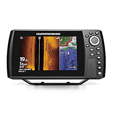
$579.99
Humminbird HELIX 7 CHIRP SI GPS G4 Fish Finder
Humminbird HELIX 7 CHIRP SI GPS G4 Fish Finder
$579.99
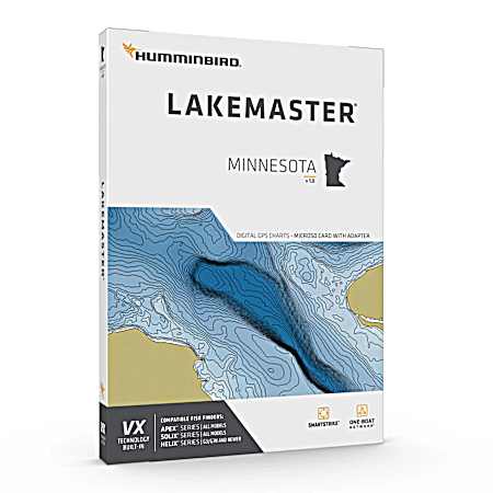
$144.99
Humminbird VX- MINNESOTA
Humminbird VX- MINNESOTA
$144.99
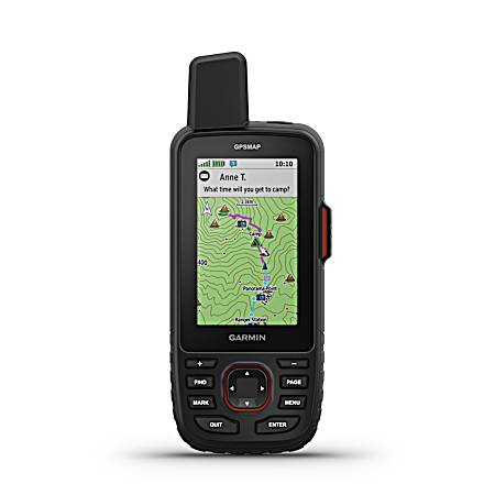
$599.99
Garmin Black GPSMAP 67i Standard & Satellite Communicator
Garmin Black GPSMAP 67i Standard & Satellite Communicator
$599.99
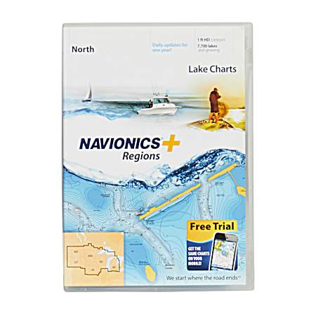
$149.99
Navionics Plus North Region Map Card Lake Charts
Navionics Plus North Region Map Card Lake Charts
$149.99
$144.99
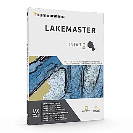
Humminbird VX- ONTARIO
Humminbird VX- ONTARIO
$144.99
$144.99
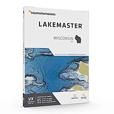
Humminbird VX- WISCONSIN
Humminbird VX- WISCONSIN
$144.99
$199.99
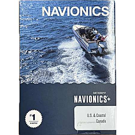
Navionics Map Card Marine & Lake Charts All US & Coastal Canada
Navionics Map Card Marine & Lake Charts All US & Coastal Canada
$199.99
$13.49
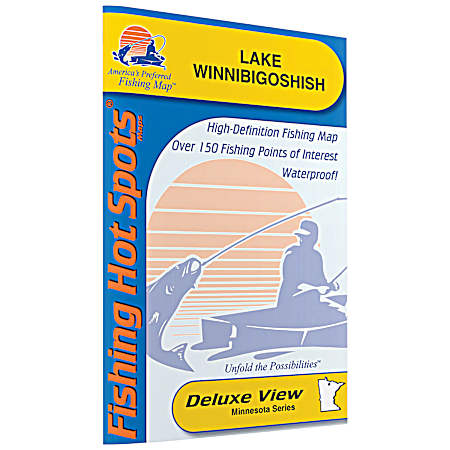
Fishing Hot Spots Lake Winnibigoshish Map
Fishing Hot Spots Lake Winnibigoshish Map
$13.49
$124.99
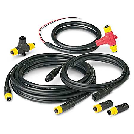
Ancor NMEA 2000 Single Device Backbone Starter Kit - 270203
Ancor NMEA 2000 Single Device Backbone Starter Kit - 270203
$124.99
$58.99
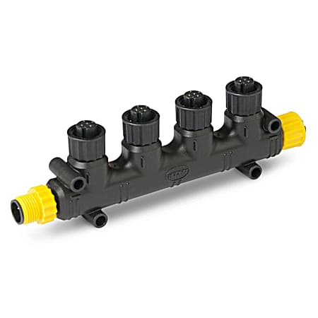
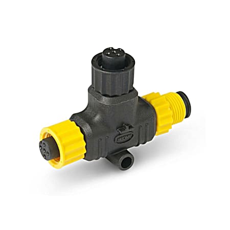
Ancor NMEA 2000 Four Way Tee Connector - 270104
Ancor NMEA 2000 Four Way Tee Connector - 270104
$58.99
$13.49
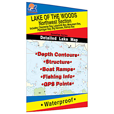
Fishing Hot Spots Lake of the Woods NW Ontario Map
Fishing Hot Spots Lake of the Woods NW Ontario Map
$13.49
$39.99
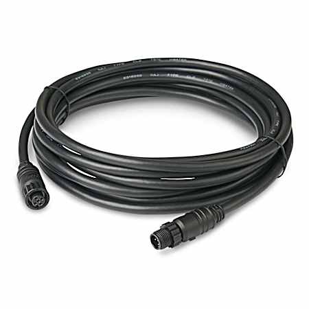
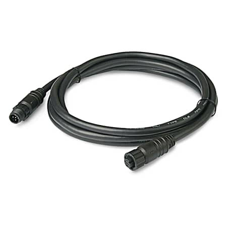
Ancor NMEA 2000 Drop Cable - 5 Meter
Ancor NMEA 2000 Drop Cable - 5 Meter
$39.99
$13.49
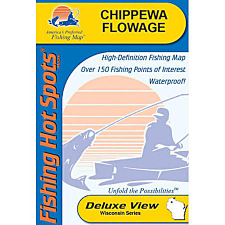
Fishing Hot Spots Chippewa Flowage Map
Fishing Hot Spots Chippewa Flowage Map
$13.49
$24.99
Ancor NMEA 2000 Single Tee Connector - 270101
Ancor NMEA 2000 Single Tee Connector - 270101
$24.99
$13.49
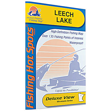
Fishing Hot Spots Leech Lake Map
Fishing Hot Spots Leech Lake Map
$13.49
$13.49
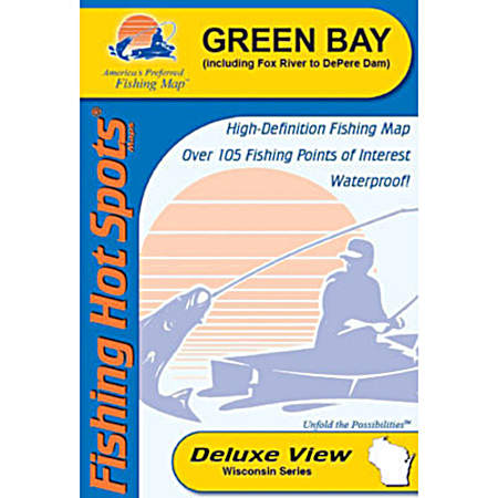
Fishing Hot Spots Green Bay & Lower Fox River Map
Fishing Hot Spots Green Bay & Lower Fox River Map
$13.49
$13.49
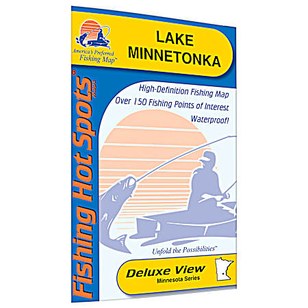
Fishing Hot Spots Lake Minnetonka Map
Fishing Hot Spots Lake Minnetonka Map
$13.49
$13.49
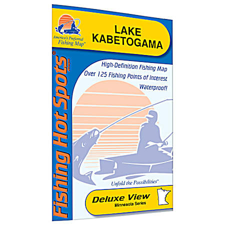
Fishing Hot Spots Kabetogama Map
Fishing Hot Spots Kabetogama Map
$13.49
$13.49
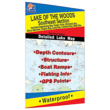
Fishing Hot Spots Lake of the Woods SE Ontario Map
Fishing Hot Spots Lake of the Woods SE Ontario Map
$13.49
$13.49
Fishing Hot Spots Pewaukee Lake Map
Fishing Hot Spots Pewaukee Lake Map
$13.49
$13.49
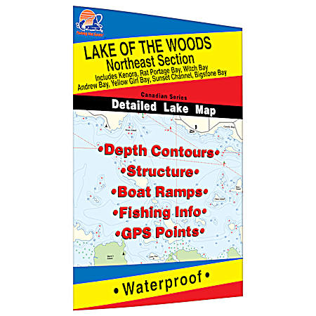
Fishing Hot Spots Lake of the Woods NE Ontario Map
Fishing Hot Spots Lake of the Woods NE Ontario Map
$13.49
$27.99
Ancor 1 Meter NMEA 2000 Drop Cable
Ancor 1 Meter NMEA 2000 Drop Cable
$27.99
$23.99
Ancor 2 Meter NMEA 2000 Drop Cable
Ancor 2 Meter NMEA 2000 Drop Cable
$23.99
$13.49
Fishing Hot Spots Rainy Lake South Ontario Map
Fishing Hot Spots Rainy Lake South Ontario Map
$13.49
1
2
3
4
5
top
Close Navigation